
Underground Utility Survey & GPR Ground Scanning in Abu Dhabi
On Abu Dhabi government, industrial and oil and gas sites, a utility strike is a safety incident before it is a commercial one, and the survey before excavation is normally part of the permit. We survey the dig area with a Proceq GS8000, paint the buried services on the ground, and issue a report that states what we found and how deep the ground let us read. Attendance is usually next day.
GPR Ground Scanning in Abu Dhabi
Sabkha is the real limit
Much of Abu Dhabi Island and the coastal strip is sabkha, with saline groundwater close to the surface. That is the hardest ground there is for radar, and it can pull usable depth below 5 m. We would rather tell you that before you dig than have the excavation go deeper than our data. Inland at Khalifa City and Al Shamkha the ground is drier and reads considerably deeper.
A survey that stands up in a safety file
On permit-to-work sites the survey is not only guidance for the crew: it becomes part of the excavation permit and the safety case. Our report states the area surveyed, the services located with estimated depths, the depth we could confirm, and where the ground limited the reading. ADDC and other service owners' records are still needed; the survey checks them against the ground.
Operating plants and industrial zones
Mussafah and the ICAD zones carry private power feeds, process water and drainage laid by each occupier, most of it recorded by nobody. The survey cart needs no excavation and no exclusion zone, so it works inside an operating plant alongside normal traffic, subject to the site's own permit and induction.
Where in Abu Dhabi, and how fast
We survey Abu Dhabi Island, Al Reem, Saadiyat, Yas, Khalifa City, Mussafah, ICAD and Al Shamkha. Attendance is usually next day; sites that need inductions or gate passes take longer, and we arrange those before we mobilise.
Get a price for this job
Send the site location, the element or ground, the area and your date. We call you back with a fixed price. Attendance in Abu Dhabi: usually next day; permit-to-work sites take longer.
At a glance
- What we do
- Locate buried cables, pipes, ducts, tanks and voids before excavation
- Where
- Abu Dhabi Island & Corniche, Mussafah, ICAD I–III, Khalifa City and the rest of Abu Dhabi
- Instrument
- Proceq GS8000 ground radar
- You receive
- Services painted on the ground with depths, survey report within 24 hours
- How quickly
- Abu Dhabi: usually next day; permit-to-work sites take longer
- Contact
- WhatsApp or call +971 55 692 6286. We reply within 1 hour during working hours.
Areas we cover in Abu Dhabi
- Abu Dhabi Island & Corniche
- Mussafah
- ICAD I–III
- Khalifa City
- Al Reem Island
- Yas Island
- Saadiyat Island
- Al Shamkha
Utility owners and permitting bodies we work alongside here: Abu Dhabi City Municipality, ADDC, Department of Municipalities and Transport, ADNOC site permitting.
Ground conditions in Abu Dhabi
Much of Abu Dhabi Island and the coastal strip is sabkha with saline groundwater close to the surface, which is the hardest ground condition for radar and can pull working depth below 5 m. Inland at Khalifa City and Al Shamkha the ground is drier and reads considerably deeper.
What you get in Abu Dhabi
What you receive
- Buried services painted on the ground with estimated depths
- PDF survey report within 24 hours with the mapped findings
- Marked-up drawing over your site plan for larger areas
- A stated depth limit wherever the ground stopped the radar
What the Proceq GS8000 cannot tell you
- Saline, wet or sabkha ground can cut usable depth below 5 m.
- Radar shows an object and its depth, not what the service is.
- Buried slabs and hard layers can hide what sits beneath them.
- Very congested service corridors are hard to separate line by line.
Where one of these limits affects your job, the report says so in writing.
Check us before you book
- Trade licence
- 844806, DED Dubai
- Registered office
- Office A-51, Al Shaikh Building 05, Al Khabeesi, Deira, Dubai, United Arab Emirates
- Instruments we own
- Proceq GP8000 (concrete), Proceq GS8000 (ground)
- Operating since
- 2019
Sites we have worked on in Abu Dhabi include Yas Mall, ADNOC Headquarters, Al Dar Properties, Sheikh Khalifa Hospital, SKH Abu Dhabi. See the project list
GPR Ground Scanning in Abu Dhabi: common questions
Will sabkha ground stop you finding our utilities?
It reduces depth rather than stopping the survey. Saline groundwater absorbs radar quickly, so on sabkha sites usable depth can fall below 5 m. Most services an excavator meets are shallower than that. We assess the ground on site and tell you what depth we can confirm before you rely on the survey.
Can the survey support our excavation permit?
Yes. The report shows the area surveyed, the services located, their estimated depths and the depth confidence achieved. What a permit needs differs by client, so send the conditions and we will cover them. The survey does not replace the service owners' NOCs or records.
Do you work inside operating industrial facilities?
Yes. Surveys inside operating plants in Mussafah and ICAD are routine. Radar is non-destructive and needs no exclusion zone, so it can proceed alongside normal operations, subject to the site's permit and induction requirements.
Recent surveys in Abu Dhabi
Real surveys from our records, with the scope and limits as reported to the client. Open a row for the detail.
in Abu DhabiCommercial kitchen, underground oven installation
Commercial kitchen equipment supplierAbu Dhabi394m24numbered on the area planNext dayissued 4 Oct 2026Indications 24Report Next day
Overlapping GS8000 passes over a 22 m × 16 m asphalt area in Abu Dhabi: 394 m of scan, 24 numbered indications, report the next day.
- Area
- About 22 m × 16 m
- Total scan length
- 394 m in three scan paths
- Indications
- 24, numbered on the area plan
- Scan images
- 16, each commented
- Report date
- 4 October 2026
Limitation stated in the reportThe last 12 m of the first scan path was noisy and was marked as not cleared.
Read the case study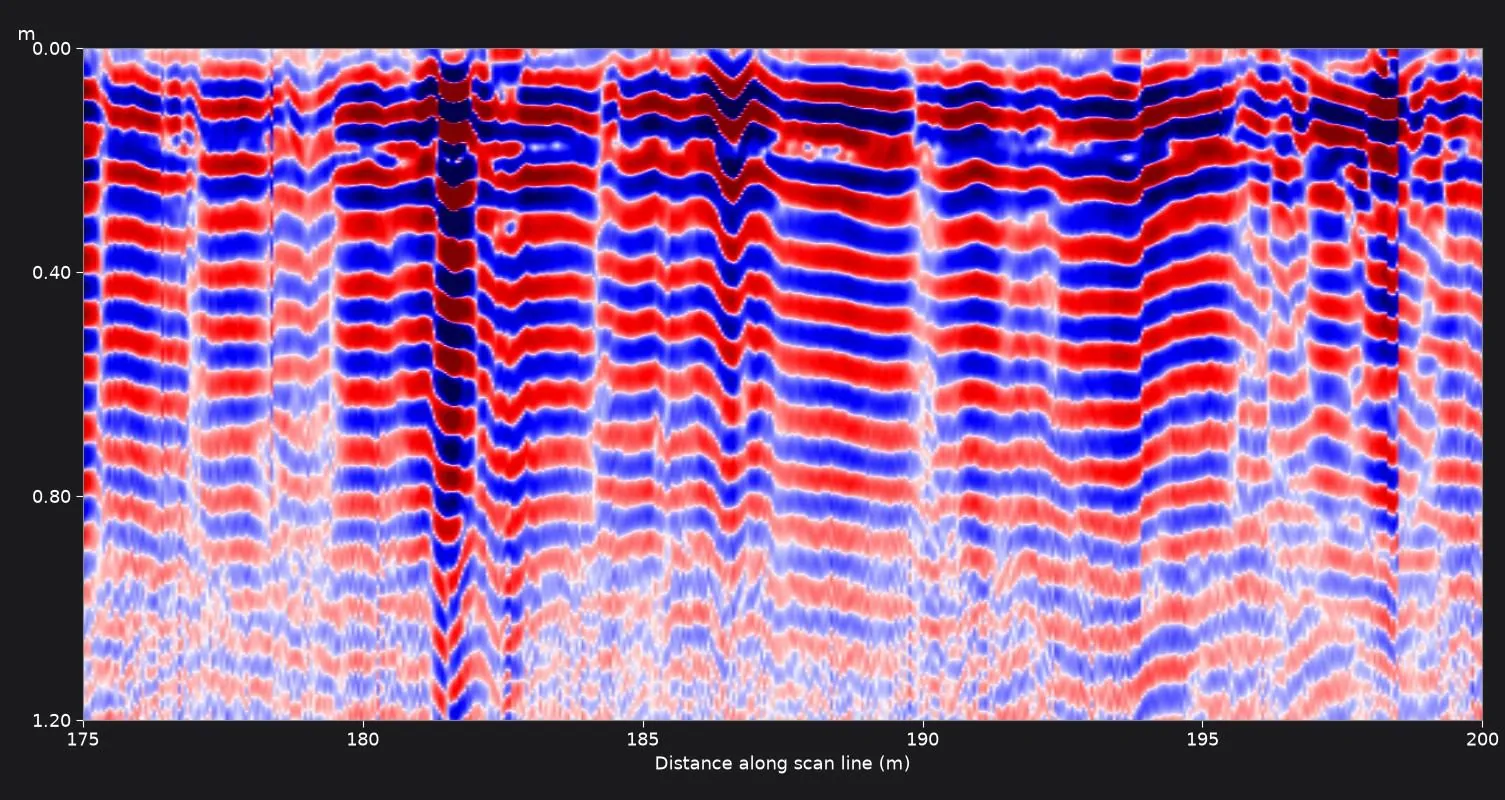
in Abu DhabiPrivate villa, new swimming pool
Swimming pool installation contractorAbu Dhabi384mNone taggedwhole grid reported section by sectionNext dayissued 1 Oct 2026Indications None taggedReport Next day
An 18 m × 32 m garden scanned with the GS8000 in two directions before a pool dig in Abu Dhabi: 384 m of scan, report issued the next day.
- Area
- About 18 m × 32 m
- Total scan length
- 384 m
- Pattern
- Grid of parallel passes in two directions
- Scan images
- 16, covering the whole grid
- Report date
- 1 October 2026
Limitation stated in the reportThe scan images represent the recorded data only. The presence and position of any buried service must be confirmed by trial pits or hand excavation before mechanical digging.
Read the case study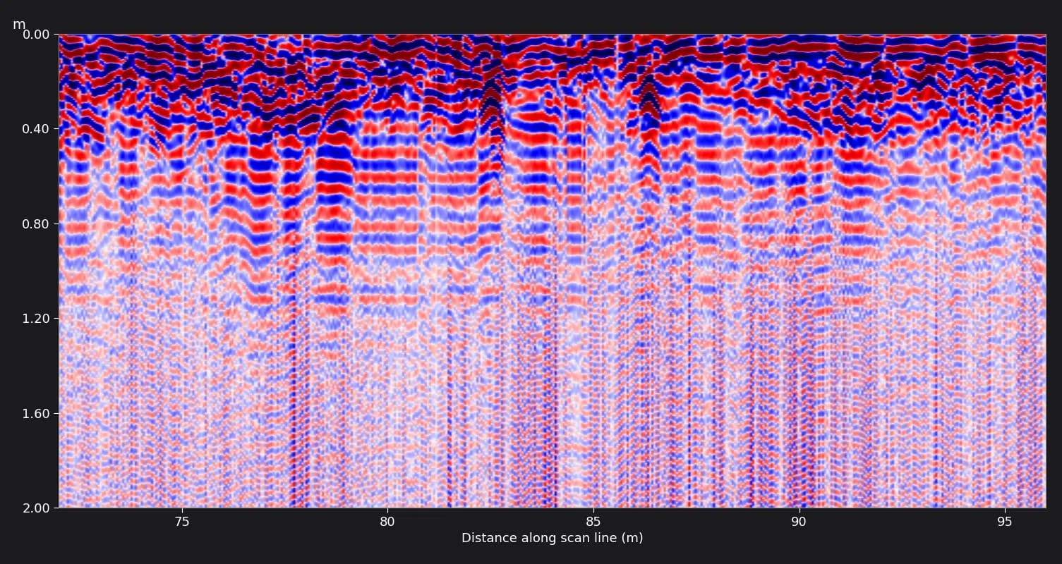
in Abu DhabiAirport infrastructure, new buried fire-protection pipework
Rebus Projects Managements, Project management contractor delivering new fire-protection pipework at an airportAbu Dhabi755m39 + 539 marked on site, 5 more found on review14 daysissued 25 Sept 2026Indications 39 + 5Report 14 days
755 m of GS8000 ground scanning on asphalt and interlock service roads at an Abu Dhabi airport: 39 points marked on site, more found on whole-line review.
- Total scan length
- 755 m
- Lines
- 2 (388 m and 367 m), one pass each
- Points marked on site
- 39
- Scan images
- 25, each commented
- Report date
- 25 September 2026
Limitation stated in the reportSome deeper readings were reported as weak and to be treated with caution, not as confirmed services.
Read the case studyDelivered
- Two branded PDF survey reports, one per line, of 21 and 16 pages.
- Reports dated 25 September 2026, fourteen days after the survey.
- 25 scan section images with written comments tying each reflection to the on-site point labels.
- Route map and detected points plotted on the client's drawing.
- A recommendation to excavate manually and slowly within the affected zones.
in Abu DhabiAirport car park works
Arts Island Contracting, Civil contractorAbu DhabiLength not on recordNot countedreflections at about 1 m and 1.8 m14 pagesissue date not on recordIndications Not countedReport 14 pages
GS8000 ground scanning of a car park area at an Abu Dhabi airport before excavation at several locations, reported in 10 commented scan images.
- Area
- Car park area outlined by the client
- Excavation
- Planned at multiple locations
- Scan images
- 10
- Report
- 14 pages
Limitation stated in the reportGround with high clay or salt content, or a shallow water table, can absorb the radar signal. The report states this limit openly.
Read the case studyDelivered
- 14-page branded PDF survey report.
- 10 scan images captured on site.
- A recommendation to excavate manually and progress slowly within the affected zones.
Related guides
- Ground scanning, 6 min readHow deep GPR really reads in UAE ground
Every equipment brochure quotes a maximum. What you get depends on moisture and salinity — and the UAE has both extremes within an hour of each other.
- Working with us, 7 min readWhat is in a GPR survey report, and how to read one
The marks on site get the job done today. The report is what your consultant, your permit and your file keep. What it should contain, and what to question.
- Ground scanning, 7 min readGPR ground scanning vs trial pits: which one, and when you need both
A trial pit tells you exactly what is at one spot. Radar tells you roughly what is everywhere. The question is not which one, but in what order.
Related pages
GPR Ground Scanning elsewhere in the UAE
Other services in Abu Dhabi
Need GPR ground scanning in Abu Dhabi?
Send the site and what you need done. We reply within 1 hour during working hours with a price and a date. Attendance in Abu Dhabi: usually next day; permit-to-work sites take longer.