
How we surveyed it
- Proceq GS8000 dual-band stepped-frequency ground penetrating radar, positioned with the Proceq MA8000 GNSS receiver.
- The pool footprint was covered by a grid of parallel passes in two directions, so that a buried service crossing the area in either direction would cut across at least one set of passes.
- The complete recording was processed into consecutive scan sections, so the report shows all of the data and not just picked targets.
What the report said
- Nothing was tagged on site, so the report set out the complete grid recording section by section, letting the pool contractor's team see the ground across the whole footprint before digging.
From the scan data
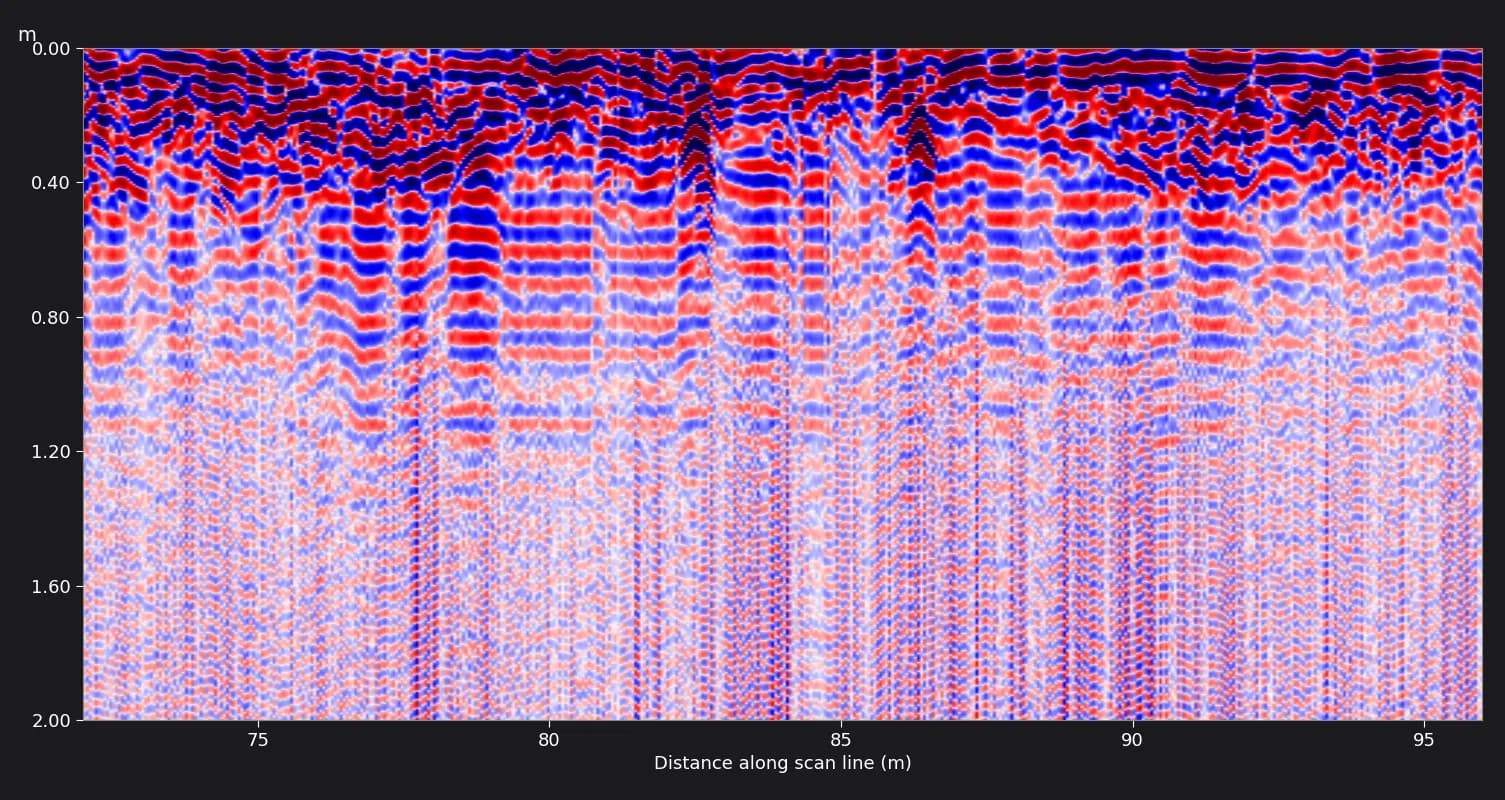
What the client received
- 14-page PDF survey report dated 1 October 2026, the day after the survey.
- 16 scan section images covering the whole grid.
- Site location and scanned-area plans.
- Branded and unbranded copies of the report.
- A recommendation to excavate manually and slowly.
Limitations we reported
- The scan images represent the recorded data only. The presence and position of any buried service must be confirmed by trial pits or hand excavation before mechanical digging.
- Positioning was by standalone GNSS without RTK correction, so plotted positions are accurate to roughly 1–3 m and are indicative only.
GPR shows where something is likely to be, not what it is. Every report we issue recommends trial pits or hand excavation to confirm services before any machine digs. See how our GPR ground scanning service works, or GPR ground scanning in Abu Dhabi.