
How we surveyed it
- Proceq GS8000 dual-band stepped-frequency ground penetrating radar, positioned with the Proceq MA8000 GNSS receiver.
- The area was covered with overlapping passes in three scan paths of 250 m, 90 m and 54 m. 14 points were tagged on site.
- Every metre of recorded data was reviewed as consecutive scan sections, not only the points tagged on site, so features the operator did not mark in the field were still reported.
- We checked whether the indications on neighbouring passes could be joined into continuous service routes. They matched no better than chance, so no routes were drawn. A dedicated 0.5 m grid with RTK positioning would be needed to trace alignments.
- Depths are given as indicative comments on the scan image scale. The instrument's default depth scale tends to understate true depth, so every depth must be confirmed by trial pit or hand excavation.
What the report said
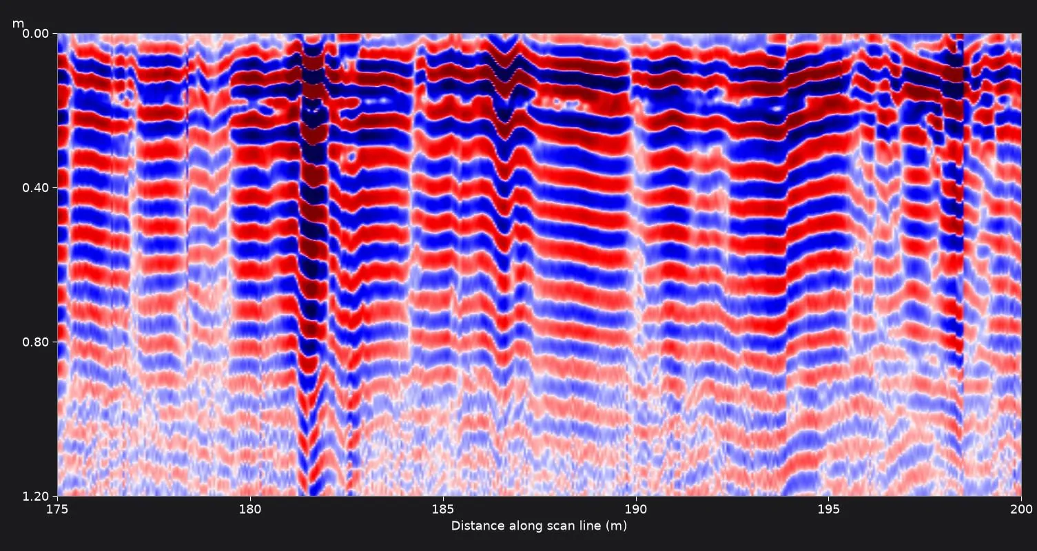
- Three clear, shallow point-type reflections were recorded, read on the image scale at roughly 10–20 cm, together with several strong local anomalies. Both indicate buried features at or near those points.
- Further disturbances in the layering were listed section by section for checking before excavation.
From the scan data
What the client received
- 22-page branded PDF survey report dated 4 October 2026, the day after the survey.
- 16 scan section images with written comments.
- Site location plan, scanned-area plan and a plan with the 24 numbered indications, plus a table of each indication's position along the scan path.
- A recommendation to excavate manually and slowly.
Limitations we reported
- The last 12 m of the first scan path was noisy and was marked as not cleared.
- Because the passes overlap and positioning is by standalone GNSS, accurate to roughly 1–3 m, the marked positions are indicative only.
- The type of any buried service was not determined.
GPR shows where something is likely to be, not what it is. Every report we issue recommends trial pits or hand excavation to confirm services before any machine digs. See how our GPR ground scanning service works, or GPR ground scanning in Abu Dhabi.